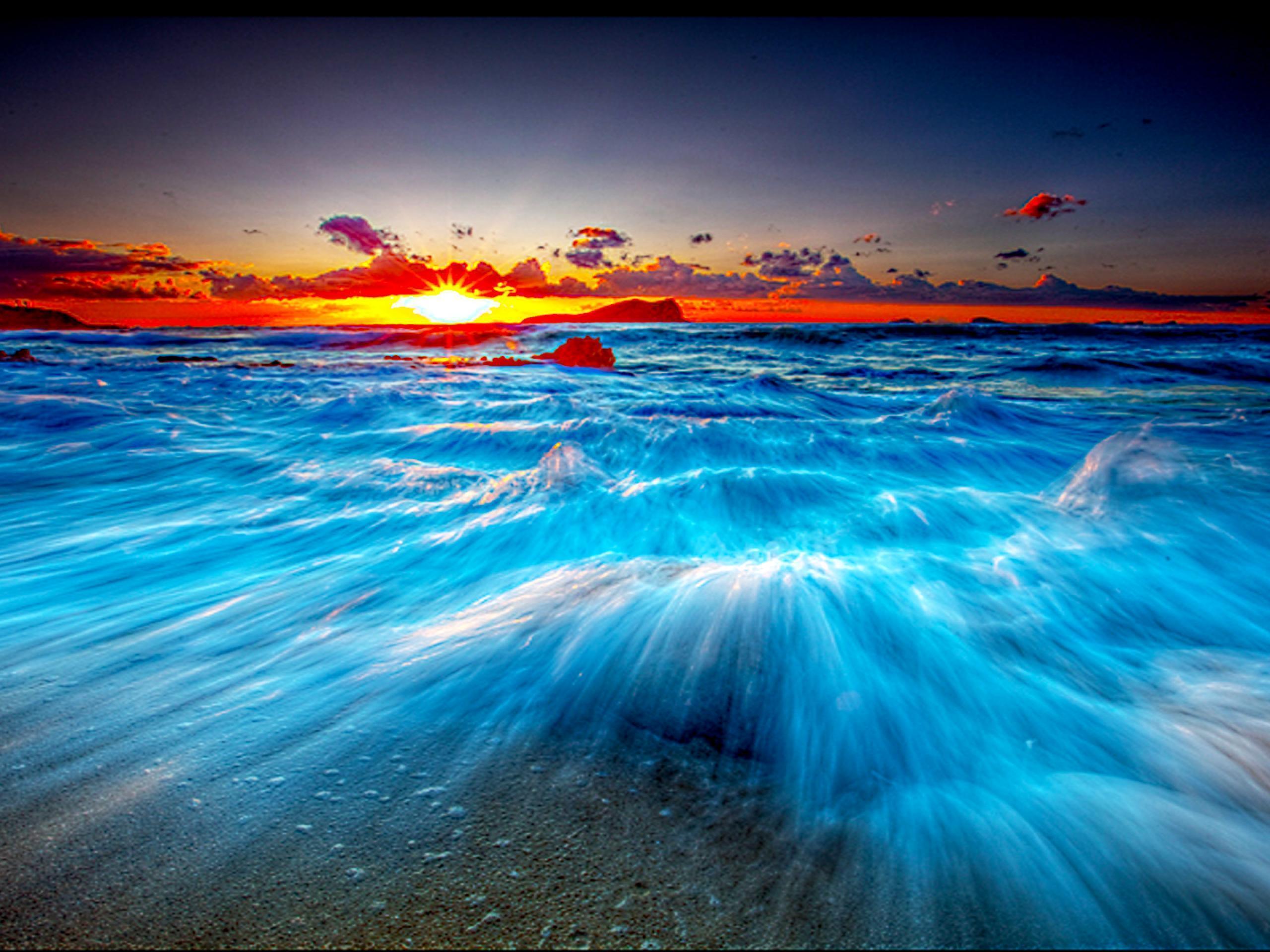
Planning a trip or studying the geography of the archipelago reveals that the Bahamas islands form a unique carbonate platform stretching across more than 700,000 square kilometers of the Atlantic Ocean. Unlike typical volcanic island chains, these 700 islands and cays sit atop shallow limestone banks, creating the signature glowing turquoise waters that draw millions of visitors annually. If you're trying to understand how this nation is structured, how its ecosystems function, or what its history entails beyond standard travel brochures, this guide breaks down the core facts.
The nation spans 32 inhabited islands, though tourism and commerce concentrate heavily on just a handful, such as New Providence, Grand Bahama, and the Exumas. Understanding this unique island geography requires looking beyond the resorts to examine the marine banks, historical roots, and modern conservation efforts that define the region.
Geography and the Bahama Bank
The physical foundation of the islands differs fundamentally from most of the Caribbean. The archipelago doesn't sit in the Caribbean Sea; it rests entirely in the Atlantic Ocean, east of Florida and north of Cuba.
The islands sit atop two major shallow carbonate platforms known as the Great Bahama Bank and the Little Bahama Bank. Over millions of years, the accumulation of coral fragments, skeletal remains of marine organisms, and precipitated calcium carbonate built up thousands of feet of limestone. This shallow underwater topography explains why satellite imagery captures such intense shades of turquoise: sunlight reflects off white sand through only a few feet of crystal-clear water.
- The Out Islands: Also known as the Family Islands, these include places like Eleuthera, Cat Island, and Long Island. They feature low population densities and rugged, untouched coastlines.
- The Hubs: New Providence (housing Nassau) and Grand Bahama (housing Freeport) contain the majority of the country's population and commercial infrastructure.
- Elevation: The terrain is remarkably flat. Mount Alvernia on Cat Island stands as the highest point in the country at just 63 meters (206 feet).
Historical Roots and Cultural Evolution
Human history in the archipelago stretches back well before European contact. The Lucayan people, a branch of the Taino culture, migrated from South America around the 8th century CE. They settled across the islands, living primarily on fishing and agriculture, until Spanish expeditions arrived in 1492. Christopher Columbus made his first landfall in the New World on an island the Lucayans called Guanahani, which modern historians identify as San Salvador.
Following Spanish displacement and enslavement of the native population, the islands remained largely uninhabited until British settlement began in the 17th century.
- The Piracy Era: During the late 17th and early 18th centuries, Nassau became a notorious haven for privateers and pirates, including Blackbeard (Edward Teach), who exploited the intricate maze of shallow cays to ambush merchant ships.
- The Loyalist Migration: After the American Revolutionary War, thousands of British Loyalists fled to the islands, bringing enslaved people and establishing cotton plantations that ultimately struggled due to poor soil and insect pests.
- Independence: After centuries of colonial rule, the islands achieved full independence from Great Britain on July 10, 1973, establishing a parliamentary democracy and a constitutional monarchy.
Cultural traditions blend African heritage with British and Caribbean influences. Junkanoo, the iconic street parade held on Boxing Day and New Year's Day, features rhythmic goat-skin drumming, cowbells, and intricate cardboard-and-crepe-paper costumes. This festival traces its roots back to the era of slavery, providing a vital expression of endurance and communal identity.
Marine Ecosystems and Conservation
With over 90 percent of its territory consisting of ocean, the nation's environmental health depends heavily on marine preservation. The Bahamas National Trust oversees a vast network of protected areas, including the Exuma Cays Land and Sea Park, established in 1958 as one of the world's first marine reserves.
Coral reefs surrounding the islands act as natural breakwaters, protecting low-lying coastal infrastructure from Atlantic hurricanes while serving as vital nurseries for commercial fish species like the queen conch and Nassau grouper.
- Blue Holes: The islands feature numerous vertical caves or sinkholes, both inland and offshore, such as Dean's Blue Hole on Long Island. These geological formations plunge hundreds of feet deep and host specialized subterranean ecosystems.
- Reef Restoration: Local organizations and marine biologists actively engage in coral farming, cultivating heat-tolerant coral strains to combat the effects of ocean warming and bleaching events.
For official conservation updates and park guidelines, consult the Bahamas National Trust.
Economy, Tourism, and Climate Resilience
Tourism and financial services drive the national economy. Tourism accounts for roughly half of the gross domestic product and employs over half the workforce. Visitors typically fly into Lynden Pindling International Airport in Nassau or arrive via cruise ships docking at Prince George Wharf.
However, the geographic makeup of the islands creates distinct vulnerabilities.
- Climate Vulnerability: Because average elevations are very low, sea-level rise poses a direct threat to coastal settlements, freshwater lenses, and infrastructure.
- Hurricane Impact: Powerful storms, such as Hurricane Dorian in 2019, underscore the necessity for upgraded building codes, resilient housing structures, and rapid emergency response frameworks.
To support sustainable travel and understand entry requirements, check official travel advisories via the Government of Canada Travel Advice or equivalent national travel portals.
Frequently Asked Questions
Are the Bahamas part of the Caribbean?
Geographically, no. While they are culturally and politically aligned with the Caribbean Community (CARICOM), the islands sit entirely within the Atlantic Ocean, situated north of Cuba and east of Florida.
How many islands make up the Bahamas?
The archipelago consists of more than 700 islands and cays, alongside roughly 2,000 low-lying rock formations known as cays. Only 32 of these islands are permanently inhabited.
What causes the bright turquoise water color?
The intense color stems from the combination of shallow water depths over the Great Bahama Bank, brilliant white calcium carbonate sand, and intense tropical sunlight reflecting off the seafloor.
When is the best time to visit the islands?
The dry season runs from mid-December to mid-April, offering lower humidity and minimal rainfall, though it coincides with peak tourist pricing. The Atlantic hurricane season officially runs from June 1st to November 30th.


