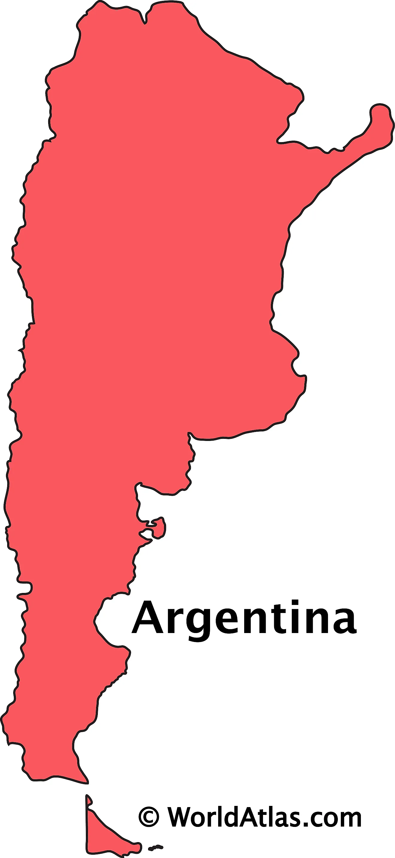
Map out Argentina and you'll find a striking expanse stretching nearly 2,300 miles from sub-tropical northern lowlands to the frozen expanse of Tierra del Fuego. As the eighth-largest country globally, Argentina isn't defined by a single terrain. Instead, it features towering western peaks, flat agricultural heartlands, and windswept southern steppes.
Understanding this landscape requires looking past basic cartography. The country's physical layout dictates its climate zones, economic powerhouses, and population distribution. Whether you're planning a route or studying regional demographics, breaking Argentina down by its four major geographic pillars—the Andes, the North, the Pampas, and Patagonia—makes sense of its massive scale.
The Four Core Geographic Regions
Argentina's diverse topography splits cleanly into distinct zones, each shaping local culture, weather, and industry.
The Andes and Western Foothills
The western border with Chile is dominated by the Andes Mountains, home to Mount Aconcagua, the highest peak in the Western Hemisphere at 22,841 feet. This alpine spine creates a rain shadow effect that dries out the interior. Rain-starved valleys near Mendoza produce world-renowned wine grapes, relying on glacial meltwater from the peaks. Seismic activity is frequent here due to the subduction of the Nazca plate beneath the South American plate. For another look on this event, see the recent update from Reuters.
The Northern Subtropics and Wetlands
Moving north, the terrain shifts into humid forests, dry savannas, and marshlands. This sector includes the Gran Chaco—a sprawling lowland prone to high temperatures and seasonal floods—and Mesopotamia, a fertile area wedged between the Paraná and Uruguay rivers. Here you'll find the Iguazú Falls, a massive waterfall system featuring hundreds of drops cascading through subtropical rainforests.
The Pampas Agricultural Heartland
East of the central foothills lies the Pampas, a vast, flat sedimentary plain covering roughly 295,000 square miles. With some of the richest topsoil on Earth, this region serves as Argentina's economic engine. It supports massive cattle ranches and endless fields of soybeans, corn, and wheat. Cities like Buenos Aires and Rosario anchor the edges of this agricultural basin.
Patagonia and the Southern Steppes
South of the Colorado River, Patagonia takes over. This sparsely populated territory consists of dry plateaus, glacial lakes, and rugged mountain spires like Mount Fitz Roy. Fierce winds sweep across the steppes, while massive ice fields feed glaciers such as Perito Moreno before the continent fragments into the islands of Tierra del Fuego.
Key Facts and Territorial Borders
Examining official data points provides clear context for mapping out the country:
- Total Area: Approximately 2.78 million square kilometers, making it the second-largest nation in South America.
- International Borders: Bounded by Chile to the west, Bolivia and Paraguay to the north, and Brazil and Uruguay to the northeast.
- Coastline: An extensive Atlantic coastline stretching roughly 2,900 miles along the east.
- Capital City: Buenos Aires, situated on the western shore of the Río de la Plata estuary.
Navigating Argentina: Practical Logistics
Crossing this vast territory requires careful planning because travel times between regions can span days.
Transportation Networks
Domestic flights operated by carriers like Aerolíneas Argentinas offer the fastest way to bridge distances between northern jungles and southern glaciers. Long-distance bus networks are extensive, comfortable, and heavily utilized for regional travel, though a car is ideal for exploring rural pampas or the Seven Lakes road in Patagonia.
Climate Variations
Because the country spans multiple latitudes, weather changes drastically depending on your location. Summers run from December to February, bringing high heat to the northern provinces and mild, pleasant days to Patagonia. Winters (June to August) bring heavy snow to the Andes and freezing temperatures to the far south, while the central Pampas remain damp and chilly.
Frequently Asked Questions
What is the primary language spoken across Argentina?
Spanish is the official national language, spoken by the vast majority of the population. Local dialects feature distinct pronunciations, most notably the voseo form, where "vos" replaces "tú" for informal address.
How many provinces make up Argentina?
The nation is divided into 23 distinct provinces, plus one autonomous city (Buenos Aires), each with its own provincial government and capital.
Does Argentina's territory include claims outside South America?
Yes. Argentina officially claims a sector of Antarctica known as Argentine Antarctica, as well as the Falkland Islands (Islas Malvinas) and other South Atlantic territories, though sovereignty over the Falklands remains disputed internationally.
Which geographic region holds the majority of the population?
The Pampas region is by far the most densely populated, housing over half of the country's residents, largely concentrated within the greater Buenos Aires metropolitan area and surrounding industrial hubs.



