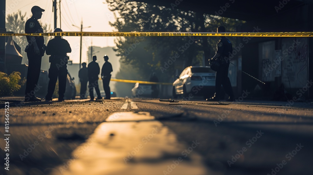
Navigating safety data in New Mexico's largest city requires looking past broad averages. An Albuquerque crime map reveals sharp contrasts across town, where a quiet residential street can sit just a few blocks away from a high-crime commercial corridor. If you're moving to the area, opening a business, or just trying to understand local trends, raw numbers alone won't tell the whole story.
Albuquerque records a violent crime rate and property crime rate that sit well above national averages. Even so, safety varies block by block. Understanding how to read local incident maps, recognizing which areas face the highest risks, and knowing what municipal programs are doing to change the trajectory will help you evaluate the city's true safety profile.
Reading the Albuquerque Crime Map
When you pull up a digital crime mapping tool like the one hosted by the Albuquerque Police Department Crime Statistics portal, you'll see a grid of color-coded pins and heat signatures. Most mapping software categorizes incidents into violent crimes, property offenses, and quality-of-life violations.
Understanding Heat Maps and High-Traffic Skew
Heat maps rely on raw incident counts, which means high-traffic zones naturally appear heavily concentrated with red markers.
- Commercial Hubs: Areas with dense retail, bars, and entertainment venues register high volumes of property crime simply because more people and vehicles pass through them daily.
- Transit Corridors: Major thoroughfares like Central Avenue accumulate more reported thefts and vehicle break-ins than quiet suburban cul-de-sacs.
- Reporting Bias: Wealthier neighborhoods often show active reporting habits due to active neighborhood associations, which can sometimes make them look artificially dense on a map compared to under-resourced areas where residents might report fewer minor incidents.
Safety Profiles Across Albuquerque Neighborhoods
Crime is hyper-localized in this city. A look at city command areas shows distinct geographic patterns.
Areas Facing Higher Crime Rates
Certain zones consistently log higher incidents of property theft and violent offenses:
- International District: Located east of downtown, this area deals with persistent poverty, open drug markets, and higher rates of violent crime.
- Southeast Heights: Commercial properties and apartment complexes along major arteries face elevated risks of burglary and larceny.
- Downtown: As a central business and nightlife district, downtown sees frequent vehicle break-ins, vandalism, and petty theft, particularly late at night.
Safer Residential Pockets
On the opposite end of the spectrum, several neighborhoods report significantly lower crime rates than the city average:
- North Albuquerque Acres: Situated on the far northeast side near the foothills, this area features lower population density and very low crime rates.
- Sandia Heights: Tucked against the Sandia Mountains, this community benefits from geographic isolation and strong neighborhood watch participation.
- Volcano Trails: Located on the far west side, this newer residential expanse reports minimal violent crime and strong property safety.
Property Crime vs. Violent Crime Breakdown
The makeup of local crime leans heavily toward property offenses rather than violent encounters. According to data tracked via the FBI Uniform Crime Reporting Program, property crimes make up the vast majority of offenses in the metro area.
- Motor Vehicle Theft: Albuquerque has historically struggled with high rates of auto theft, though recent municipal policing initiatives have driven double-digit percentage drops in stolen cars.
- Larceny and Theft: Purse snatching, retail theft, and porch piracy represent the most common daily police calls.
- Aggravated Assault: Violent incidents typically stem from domestic disputes or targeted conflicts rather than random stranger attacks, though public spaces downtown still require situational awareness.
Common Safety Mistakes to Avoid
Residents and visitors often make preventable errors when assessing or navigating local safety risks.
- Ignoring Vehicle Security: Leaving valuables visible inside a parked car is the single biggest trigger for property crime across the city. Always lock doors and take electronics inside.
- Assuming City-Wide Uniformity: Writing off an entire quadrant of the city based on a single headline misses the safe pockets that exist within miles.
- Depending Solely on Static Annual Reports: Crime trends shift monthly. Relying on year-old data ignores recent downward trends in commercial burglary and auto theft.
Frequently Asked Questions
Is Albuquerque safe for families?
Yes, many families live safely in Albuquerque by choosing neighborhoods on the city's far northeast or west sides, where schools perform well and crime rates drop significantly below the national urban median.
Why are property crime rates so high?
Property crime is heavily fueled by regional economic factors, poverty, and substance abuse struggles, combined with I-40 and I-25 acting as major transit corridors for transient criminal activity.
How accurate are online crime maps?
Online maps reflect police report data and 911 calls. However, they may lag by a few days depending on processing times, and they only capture crimes that victims actually report to law enforcement.
What should I do if my car is stolen?
Contact local law enforcement immediately to file an official report, then notify your auto insurance provider. Keeping your vehicle's VIN and license plate number saved on your phone accelerates the recovery process.



