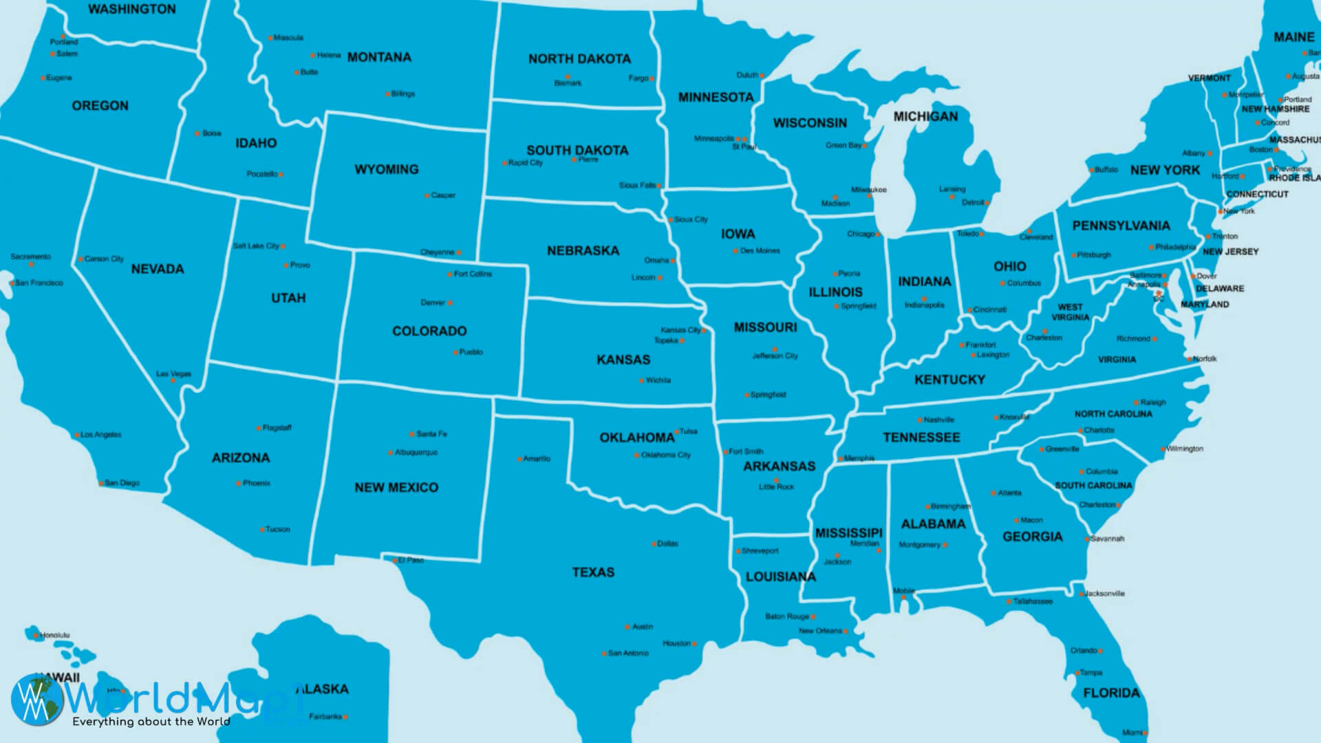
Alaska's natural beauty and immense scale define its status as the largest state in the United States. Spanning roughly 663,300 square miles, it covers more land than Texas, California, and Montana combined. This vast territory represents about seventeen percent of the entire United States landmass, creating vast expanses where human impact remains minimal.
Beyond sheer scale, the region's terrain features extreme vertical relief and diverse ecosystems. It contains eight of the twelve highest peaks in North America, anchored by Denali, which rises 20,310 feet above sea level. Understanding this geography requires examining how tectonic activity, glaciation, and climate shaped a landscape that continues to challenge travelers and residents alike.
Geographic Scale and Topography
The physical dimensions of the territory create distinct regional variations. You'll find coastal rainforests in the southeast, sweeping interior basins, arctic tundra in the north, and a volcanic chain stretching across the Aleutian Islands.
Glaciers cover roughly five percent of the state, totaling about 29,000 square miles. The Malaspina Glacier alone is larger than the state of Rhode Island. These ice masses carve deep fjords and feed massive river systems like the Yukon and the Kuskokwim, which serve as historical and functional transport corridors.
Mountain Ranges and Major Peaks
The tectonic collision of the Pacific and North American plates pushed up massive mountain chains.
- The Alaska Range: A sweeping 600-mile arc that traps moisture from the Gulf of Alaska, creating heavy snowfall and massive glaciers.
- The Brooks Range: Forming the northernmost barrier, these rugged mountains mark the transition from the interior taiga to the Arctic coastal plain.
- The Wrangell-St. Elias Mountains: Home to some of the highest coastal peaks in the world, heavily protected within a vast international park system managed by the National Park Service.
Climate Diversity
You can't treat the weather here as a single monolith. The climate varies dramatically from the maritime south to the continental interior and arctic north.
Coastal areas experience mild winters and cool summers, accompanied by heavy precipitation. Sitka and Ketchikan receive over 100 inches of rain annually. Conversely, the interior experiences extreme continental conditions. Temperatures can swing from ninety degrees Fahrenheit in July to minus sixty degrees in January.
Permafrost underlies a massive portion of the terrain, influencing everything from plant growth to civil infrastructure. When planning a visit or studying the region, don't underestimate how quickly weather patterns shift across these distinct climate zones.
Ecosystems and Native Wildlife
The untouched wilderness supports robust populations of large mammals that have vanished from much of the contiguous United States. Grizzly bears, black bears, polar bears, moose, caribou, wolves, and Dall sheep roam large, contiguous habitats.
Marine ecosystems are equally productive. The nutrient-rich waters of the Gulf of Alaska and the Bering Sea support massive populations of Pacific salmon, halibut, and multiple species of whales. These marine resources historically sustained complex indigenous cultures, including the Inupiat, Yupik, and Aleut peoples, who developed sophisticated subsistence strategies attuned to seasonal migrations.
Management of these species relies on balancing resource extraction with strict conservation frameworks overseen by agencies like the Alaska Department of Fish and Game.
Human History and Industry
Indigenous communities managed these lands for millennia before European contact occurred in the late eighteenth century. Russian fur traders established early outposts, followed by the United States purchase in 1867.
The Klondike and Nome gold rushes of the late nineteenth century brought rapid, disruptive waves of prospectors. In the modern era, the discovery of oil at Prudhoe Bay transformed the regional economy. The construction of the Trans-Alaska Pipeline in the 1970s created an industrial artery stretching 800 miles from the North Slope to the ice-free port of Valdez, highlighting the constant tension between resource development and wilderness preservation.
Frequently Asked Questions
How large is Alaska compared to other states?
It's the largest state by a wide margin. You could fit Texas into its borders more than twice.
What is the highest mountain peak?
Denali is the highest peak in North America, standing at 20,310 feet. It sits centrally within the Alaska Range.
When is the best time to experience the natural landscape?
June through August offers accessible roads, blooming alpine flora, and milder weather. However, September brings autumn colors and the early appearance of the aurora borealis.
Are large parts of the land restricted from development?
Yes. Roughly sixty percent of the land is federally owned, including vast national parks, wildlife refuges, and wilderness areas designed to protect natural habitats from industrial encroachment.



